


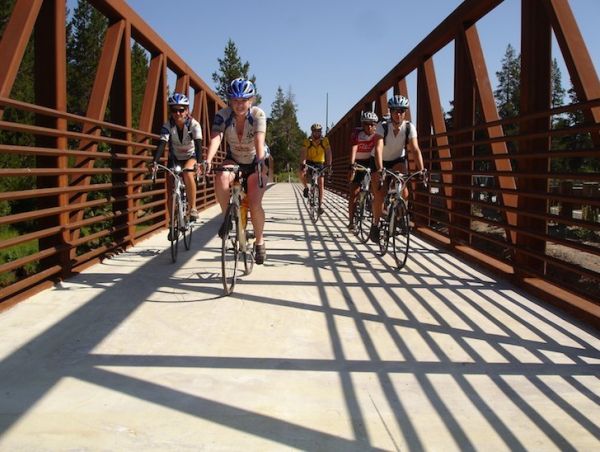
South Tahoe Loop Road Ride
Challenge:
The challenge is dependent on your distance and fitness level. There are slight elevation gains with heavy traffic volumes along Hwy 50 during summer months. Bike lanes are present on most of the ride.
Trailhead:
This is a continuation of Pioneer Trail Out/Back ride. At the junction of Pioneer Trail and Hwy 50, in Meyers, turn left and head west bound on Hwy 50 crossing the Truckee River Bridge and turning right on Upper Truckee Rd.
GPS: 38.959097, -119.942152 (Stateline)
GPS: 38.846950, -120.02897 (N. Upper Truckee Rd.)
GPS: 38.847468, -120.028133 (S. Upper Truckee Rd.)
GPS: 38.913427, -120.004619 (The “Y”)
Click here to get interactive ride map and detailed ride information for South Tahoe Loop Road Ride
Where is the activity?
Bike Tahoe (See address and directions below)